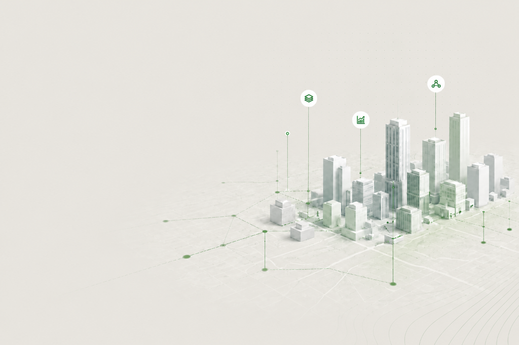
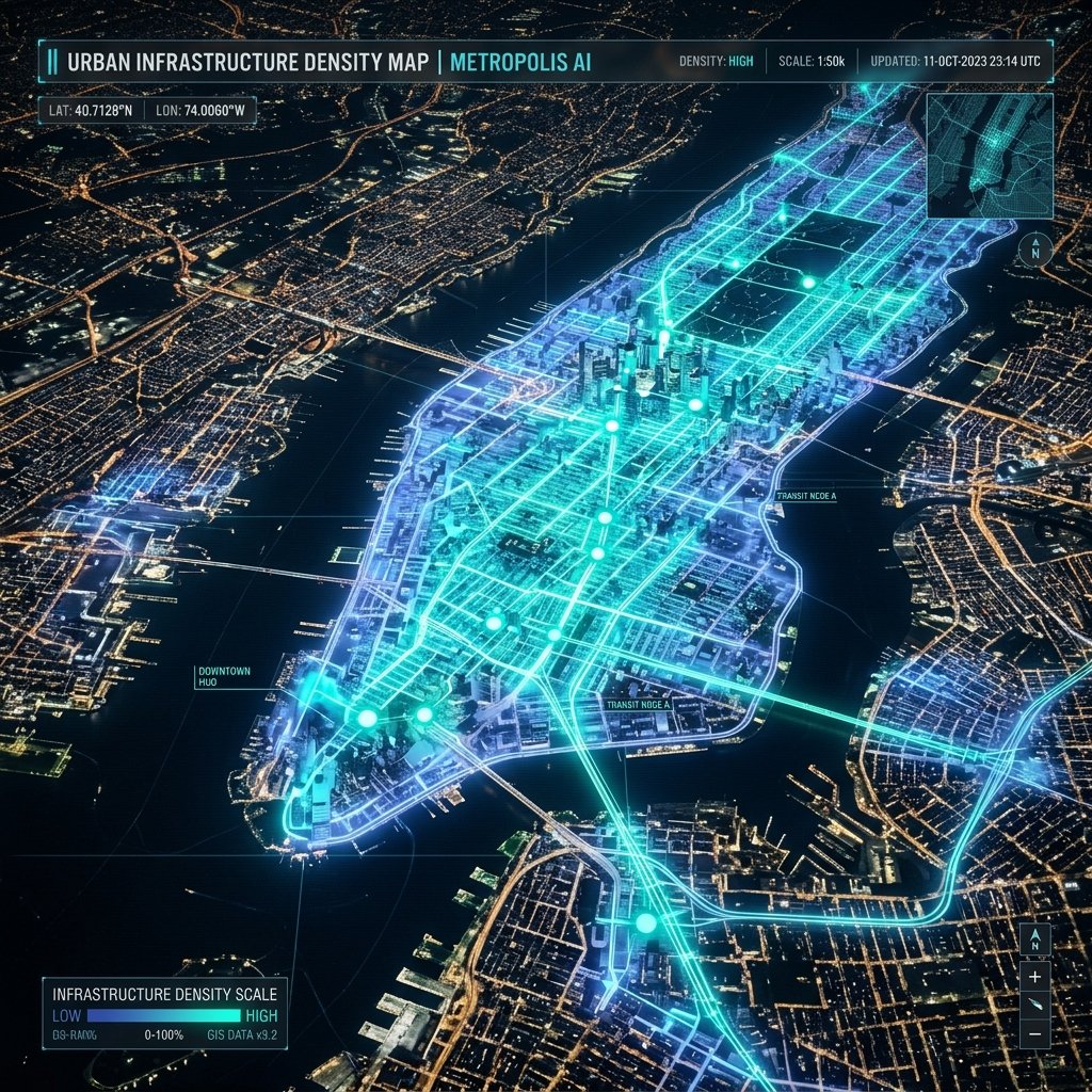
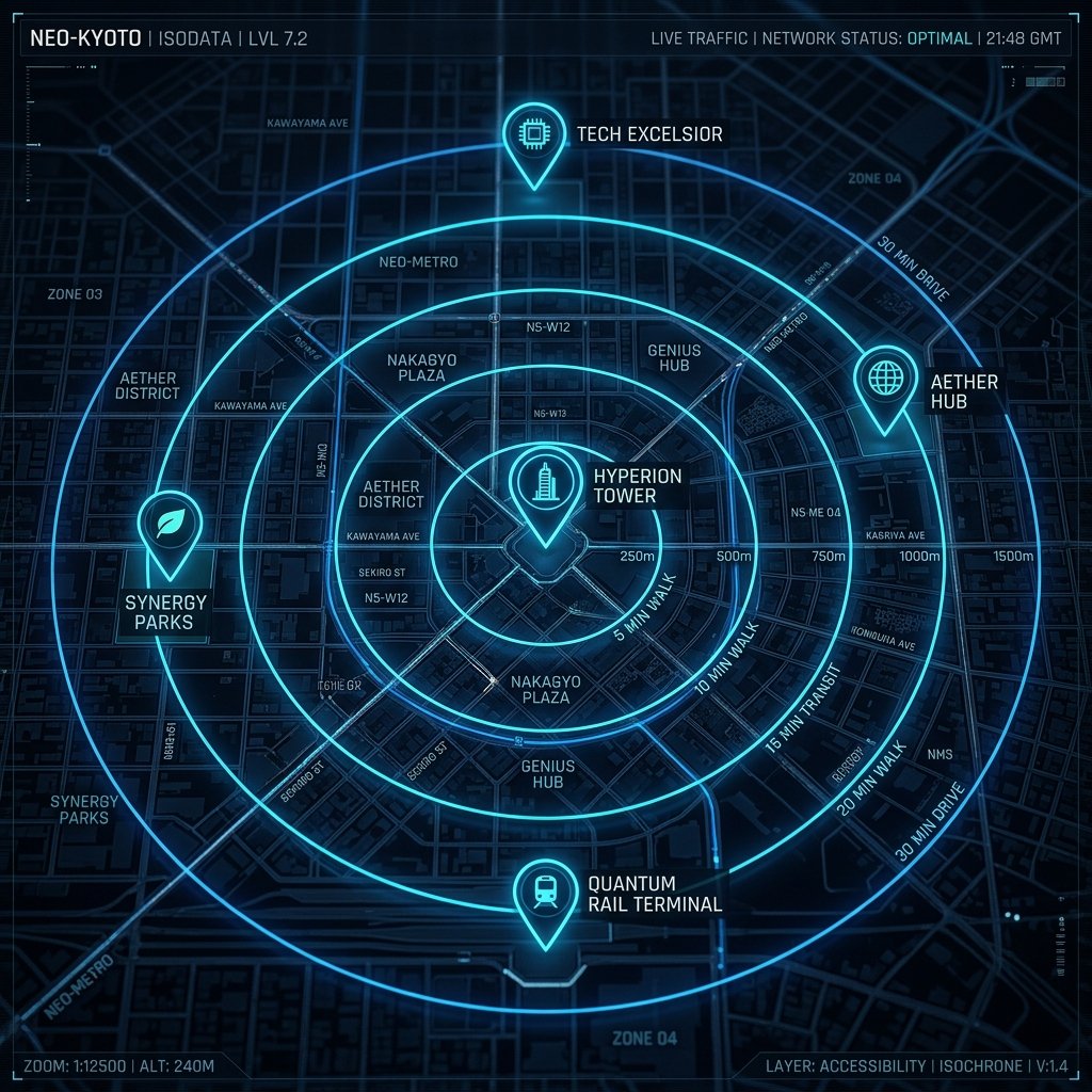
Artix builds intelligent digital infrastructure for modern urban systems by combining geospatial data, infrastructure analytics, mobility networks, and AI-powered workflows into a unified platform. We transform fragmented urban information into actionable operational intelligence, enabling smarter planning, infrastructure optimisation, and faster data-driven decision-making for both public and private environments.
Artix UrbanX
Geospatial Analytics Infrastructure
Operations
Geospatial Understanding at Scale
UrbanX combines satellite, mobility, infrastructure, and environmental data into a unified operational view of the city.
Multi-Source Integration
The platform integrates diverse urban datasets into a consistent analytical workflow, enabling faster and more informed decision-making.
Built for Dynamic Environments
UrbanX helps stakeholders understand changing urban conditions, from mobility pressure to infrastructure demand and event-driven disruption.
Planetary Data, Urban Context
By combining global Earth Observation with local operational data, UrbanX delivers scalable intelligence tailored to each city and use case.
GEOSPATIAL · OPERATIONAL INTELLIGENCE
Designed for scale across cities, infrastructure networks, and evolving operational environments. Artix combines geospatial data, mobility systems, and AI-driven analysis into a unified intelligence layer for understanding how urban systems move, adapt, and perform.
SENTIENT INFRASTRUCTURE
Artix is not just a platform; it is an intelligence infrastructure. We transform static city data into a living operational layer.
FUTURE CITIES
From predictive analysis to coordinated operational monitoring, Artix provides the intelligence infrastructure required to manage evolving urban systems at scale.
DATA
Multi-Source
Satellite · Aerial · Ground
Infrastructure
SYSTEMS
Integrated
Dashboards · AI Workflows
Generative Interfaces
Identifies infrastructure gaps, mobility pressure points, and underserved urban zones using spatial analysis and density mapping.
Evaluates accessibility, movement patterns, and surrounding infrastructure to support site selection and operational planning.
Benchmark urban indicators, mobility behaviour, and infrastructure performance across districts and cities.
Analyse crowd flows, congestion hotspots, and operational pressure during large-scale urban events.
FAQ
Artix is an AI-powered geospatial analysis platform that turns satellite imagery, sensor data, and urban datasets into actionable intelligence — in minutes. You describe what you want to know about a location, and Artix handles the rest: pulling the right data sources, running the spatial analysis, and delivering clear insights without any technical setup on your end.
Not at all. Artix is designed for people who need answers, not people who know how to write spatial queries. You interact in plain language — no Python, no QGIS, no understanding of coordinate reference systems required. If you can describe a location and a question, Artix can do the rest.
Almost anything location-based. Examples include: "Show me vegetation loss in this region over the last 5 years", "Identify flood-risk zones within 1km of critical infrastructure", "How has urban density changed in this district since 2018?", or "Flag any anomalies in surface temperature around this industrial site." If it can be answered with spatial data, Artix can tackle it.
Artix pulls from a broad constellation of sources including Sentinel-1 & 2, Landsat 8 & 9, Planet Labs, Maxar, and MODIS for satellite imagery — alongside OpenStreetMap, government open data portals, IoT sensor networks, and proprietary urban datasets. The platform automatically selects the most appropriate source based on your query's resolution, recency, and coverage requirements.
Yes. Artix supports persistent monitoring — you define a location, a set of conditions to watch for, and a frequency (daily, weekly, or triggered by change detection), and Artix will alert you automatically when something noteworthy happens. This is particularly useful for infrastructure monitoring, environmental compliance, and urban change detection programmes.
BUILDING
MORE RESILIENT
CITIES
One Decision
at a Time